
The need for field survey in the Bain Valley was identified in the middle years of the 1970s. At that time Paul Everson, who was carrying out aerial reconnaissance in Lindsey, and Naomi Field, of the newly formed North Lincolnshire Archaeological Unit, instigated a survey of mineral extraction in north Lincolnshire which included quarries in the Bain Valley. During the late 1970s a number of planning permissions were granted for new quarries in Coningsby, Tattershall and Tattershall Thorpe. The Bain Valley survey was carried out in response to the expansion in mineral extraction.
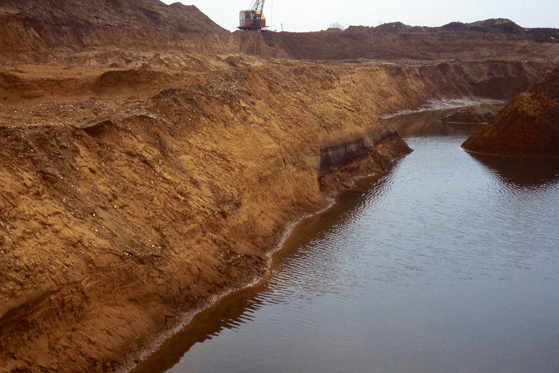
Mineral extraction at Tattershall Thorpe, note the organic layer in the section, this is probably the MIS5e deposit that is sometimes exposed (Holyoak & Preece 1985)
The area chosen for survey extended to nearly 400 km2 based on three Ordnance Survey 1:25,000 maps (TF 25 – TF 28). As this area was too large for one person to walk intensively a sampling regime was introduced. The primary objective was to fieldwalk c. 20% of the selected area using a series of transects across the valley. These were intended to be 1 km wide and 5 km long with the River Bain in the centre of the transects. Whilst this approach appeared to be ideal at the planning stage, several problems arose during the survey. The major one was contemporary land use which restricted visibilty. The only way to ensure that the sample size could be maintained was to extend the transects beyond the original 5 km2 blocks. Within the transects every available arable field was walked. Pasture fields and woodland were inspected for traces of earthworks. Individual fields were walked between rows of crops or along the contours of the valley sides at 25 m intervals. All artefacts were collected and a record made of their distribution and the extent of any soil discolouration.

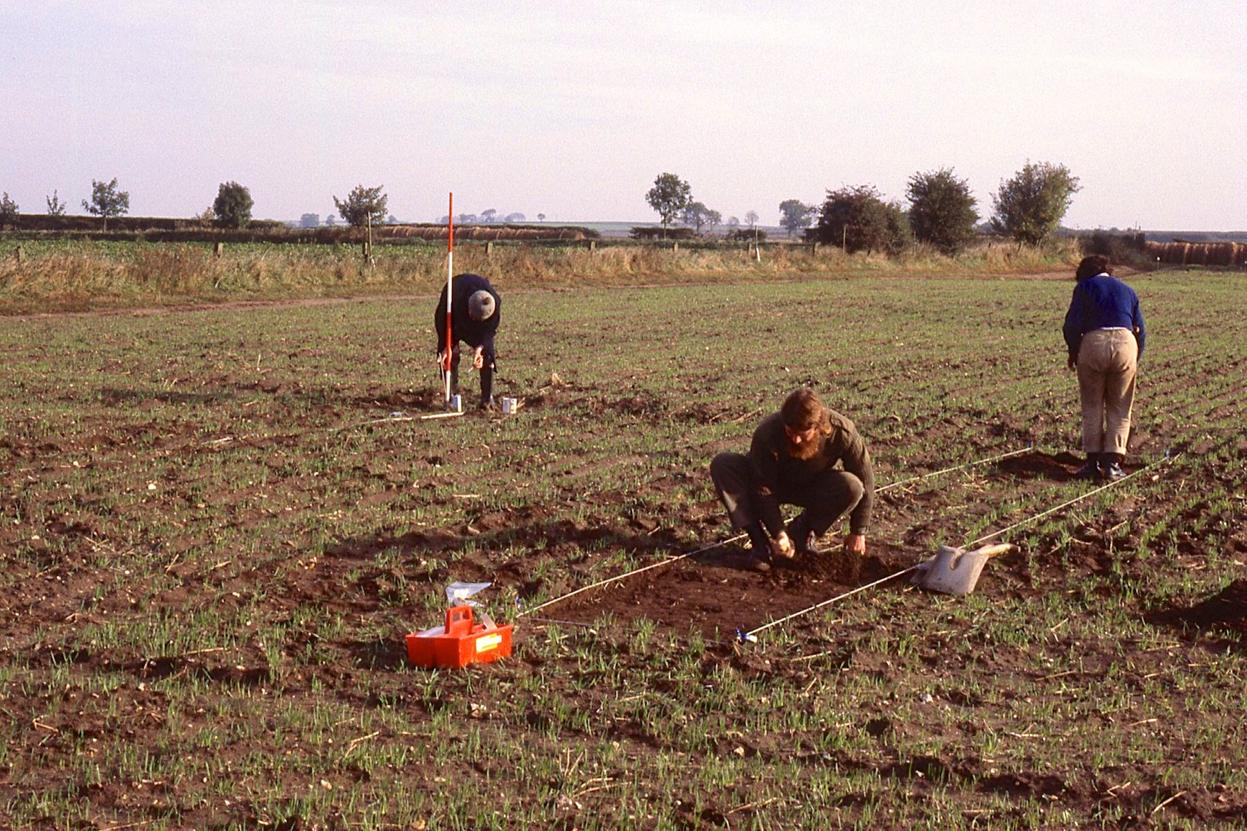
Fieldwalking at Stenigot
Five Mesolithic sites were located during the survey. All of these were found at the head of small valleys that contain springs which eventually flow into the River Bain. Three of the sites in Donington-on-Bain were of a slightly different character to the other two in Great Sturton. The Donington-on-Bain flint collection consisted of cores and microliths whereas the Great Sturton sites also had blades similar to the early Neolithic examples from Tattershall Thorpe. However, too much significance should not be given to these differences as all the collections were very small and may include later material. Surface collections need not be representative of lithic material below the plough zone or in subsoil features as was the case at the Neolithic excavated site at Tattershall Thorpe.
Two major clusters of Neolithic/early Bronze Age sites were discovered. At Calcethorpe a dense concentration of lithic material was located on clay with flints. The site extended along a prominent ridge dominated by an extant round barrow. Although this concentration is referred to as a site it was difficult to locate specific areas of high flint density or of specific artefact type. Covering an area of approximately 700 m by 300 m, this site is not easily interpreted. The nature of the lithic material does help though, as there was a high percentage of waste material compared with finished objects. It is suggested that the clay with flints wall being exploited for raw material with some knapping on site.
Excavation of lithic scatters at West Ashby
The second major concentration of Neolithic/early Bronze Age activity was on the glaciofluvial drift sands and gravels in the Tattershall Thorpe area. Most of these sites are small discrete scatters of waste material with some tools covering areas normally around 20 m in diameter. Flint scatters were located in most of the survey area. These, like the examples on glaciofluvial drift, were small, sometimes consisting of about 20 flints in an area 10 m in diameter. They are considered to represent sites as often the surrounding area, sometimes for a kilometre or more, was found to be archaeologically sterile.
No evidence for later Bronze Age activity was found. The only Iron Age site to be identified in the survey area was the excavated enclosure at Tattershall Thorpe. Only the prehistoric material is considered on this page, Romano-British and Medieval artefacts were also found during the survey.
Holyoak, D.T. & R.C. Preece, 1985. Late Pleistocene Interglacial Deposits at Tattershall, Lincolnshire. Philosophical Transactions of the Royal Society of London – Biology, 311(1149), 193-236.
